Credits and data sources
Trailmark is built on open data and open photos. This page names everyone whose work is on the site, with the licence it comes under. The licence mark on each photo opens its own entry below.
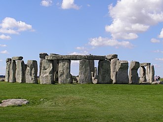
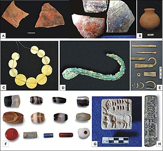
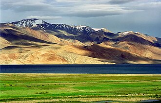
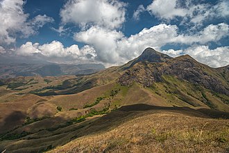
Preview. The photos below are real ones from three of our places. On the live page every credited photo will appear here, generated from its licence record.
Places and facts
- GeoNames cities and countries
The towns you can travel from, their region, country and currency.
geonames.orgCC BY 4.0 - OurAirports
The airports near your starting town, used for flight times.
ourairports.comPublic domain - DB-IP
Your starting town, guessed from your connection. IP Geolocation by DB-IP.
db-ip.comCC BY 4.0 - FlyItalyADSB
Live flight positions and recent flights on the flight status page, from a network of volunteer ADS-B receivers. flyitalyadsb.com.
flyitalyadsb.comCC BY-SA 4.0 - Exchange rates
Daily reference rates of the European Central Bank, through Frankfurter.
frankfurter.devECB data - Public holidays
Long weekends where you live, from the open-source holidays library.
github.com/vacanza/holidaysMIT - OpenStreetMap
Trek routes, viewpoints, peaks, waterfalls and the map itself.
© OpenStreetMap contributorsODbL 1.0 - GeoNames
Names, states, populations and heights of towns and cities. “Contains data from GeoNames (geonames.org).”
geonames.orgCC BY 4.0 - Wikidata
Place types, coordinates, links and one-line descriptions.